


HJL,
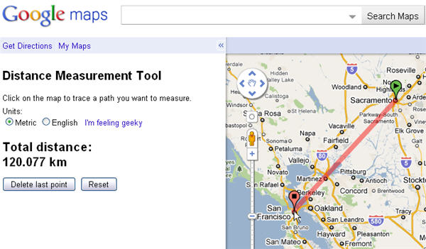
Google maps has a neat feature that lets you measure distances on their maps by zooming in to the features you want to measure, right-click over the point of the start of the measurement then select “measure distance” then left-click the next point of measurement. You can continue to add segments to the existing measurements or simply right-click again and select “Clear measurement” from the menu. This is handy to get rough range estimates to neighboring properties or terrestrial features that may aid in range finding. This does not mitigate the need to actually observe the landscape in person. You never know when a hill, tree, or brush may be intervening that you can’t see on google maps. Of course, this is no substitute for physically being there or a good topo map, but it’s better than nothing, and you can do it from the comfort of your computer chair.
This also works through the Tor browser, as you never know who may be interested in seeing what you are ranging. – DB in Michigan