
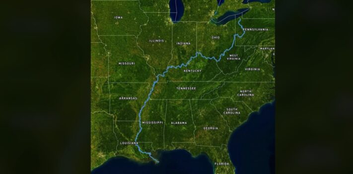


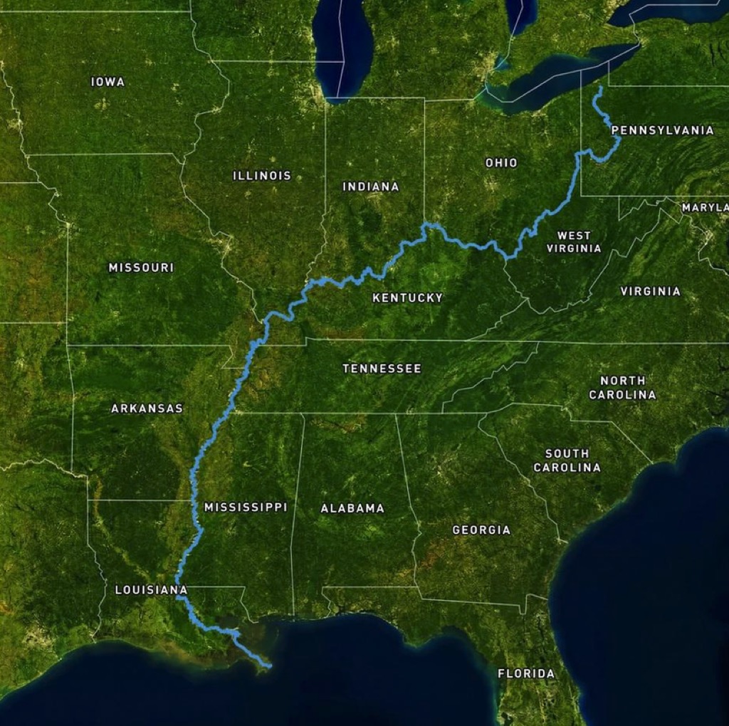
Today’s graphic of the Allegheny River, Ohio River, and Mississippi River Watershed shows a raindrop’s 2,147-mile journey to the Gulf of Mexico America, starting at the headwaters of the Allegheny River, 15 miles from Lake Erie. (Graphic courtesy of Reddit.)
The thumbnail image below is click-expandable.
—
If any SurvivalBlog readers have personally taken or otherwise hold the copyright to a particularly nice landscape photo or other photo of particular interest to preppers that is in a wide horizontal format (to match our blog template) then please send it in as an e-mail attachment, and I will consider posting it as a Graphic of the Week, or as a Top Note photo. I can of course credit you by name — or pen name — if you’d like. Many Thanks! – JWR. (Either via e-mail or via our Contact form.) Any graphics that you send must either be your own creation, under your copyright or uncopyrighted in the public domain. Thanks! – JWR