
Email a copy of 'Knowledge is Power: The Value of an Area Study - Part 1, by Viking4' to a friend
28 Comments
- Ad Elk Creek Company - Federally-Exempt No-Paperwork GunsPre-1899 Antique Cartridge Guns -- No FFL Required. Can be mailed to your doorstep with no Federal paperwork!
- Ad SurvivalRealty.com: Sell Your Remote LandAdvertise your hard-to-sell remote land to eager buters. We specialize in rural, remote, and off-grid properties worldwide. Affordable ads. No commissions are charged!
Following. The department of wildlife for target areas will publish sunrise / sunset data tables for the purposes of regulation of hunting. I.e. legal big game hunting times, down to the minute. The hunting permit and tag issuance quantities data as well as success ratios for hunt unit areas is also valuable data for area study. This provides more puzzle pieces of data that is useful. (expected number of hunting “parties” inbound, economical seasonal influxes, state / local law enforcement interdiction and overwatch expectations, etc.) Just adding one other points of interest topic to the folk’s study regimen.
Thank you for the heads up for another source of sunrise/sunset data.
You might find this site useful for generating charts for astronomical data like local sunrise, sunset, solstices, equinoxes, etc.
https://www.gaisma.com/en/dir/us-country.html
Here’s another good link for sunrise, sunset, and moon phases, plus other things you can customize to print on the calendar.
On the first link, enter our zip code at the top:
https://sunrisesunset.com/USA/
After you’ve entered your zip code you’ll come to this page:
https://sunrisesunset.com/search/results.asp?s=83845&scountry=us&back=USA
On that page click either “Jan 2021” to see a calendar with sunrise, sunset, and moon quarters, or click “Custom Calendar” to add other things like moonrise, moonset, day length, etc. These options are underneath “Daylight Saving Type.”
St. Funogas have you a site for creating calendars with phases of the moon and such? If things go sidewise we *might* not be able to buy calendars and you know as a gardener you NEED one for planning a successful garden.
Also for more basic Area study KNOWING your last and first frost dates? You cannot plan your seed starting with out that information. Knowing the annual rainfall patterns as in about how much is expected each month? If your thinking about rainwater collection you NEED this data to plan and secure the needed gallons of water storage.
Dirt farmers pray for rain, smart Kulaks store rainwater for the expected dry times.
Ride your bicycle around your area. You’ll be very grey man and SEE a LOT you never notice driving. Like for example where old apple trees are, small fishing ponds and other resources as well as hazards like that old factory OR nasty trashy dump up stream from your planned water supply? You also might notice who has *Interesting* bumper stickers and flags for future knowledge.
You will also notice secondary paths you can take when the roads *might* have road blocks-Check Points. You might notice areas difficult to drive a large vehicle into and thus a good rally point-hide for a cache of supplies? You *might* notice natural choke points for an “Accidental Fallen Tree” to slow an unwanted vehicle visitor.
90% of your trouble AND Help will come from with in 20 miles, KNOW that radii.
Thanks so much for this reference site. I have added it to my area study and published updated calendars for 2021 thru 2024.
Following. This is a big gap in my own preparedness planning. I have two separate locations to work on, home and camp/retreat. Gotta find 11″ x 17″ binders! I’m lucky, due to my work, to have large format plotters available to save the printing expenses.
Cooool. I have a zillion tabs open with all kinds of data about our retreat location, and now you’ve provided a way to organize them in hard copy and take them with us too. Thanks for this.
At a much more detailed level, I believe there is also something called Intelligence Preparation of the Battlefield. OCOKA. Maybe you could cover that later (Or should that not be shared with civilians? hee hee )
While the Army obviously focuses on offense, Area Studies and IPB analysis are also useful for those focused on defense –i.e, looking to Get Out of Dodge. Not to get all Zen on the subject but seeing a hostile scout on key terrain is a good early sign that its time to pack up and move.
Like everyone here, I will be closely following this, and thank you. My military training has taught me to be a big picture and security at different levels. One area of concern for me has been this area. It seemed when I tried, it just didn’t sink in. Thank you for using big crayons to teach a person like me.
Hey Viking4, excellent article. I’ve had it on my list to do some of these things but you’ve definitely broadened the scope and given a lot more things to consider and write down, as well as reminding me to get it in gear and get it done.
Do have you have any suggestions on the best way to create a grid map on a topo map so anyone listening in on radio communications wouldn’t know where the referenced area is located? And what would be the best scale for a 15-minute map?
Thank you sir! It’s my understanding that the 15-minute map scale of approximately 1:62,500 has been abandoned. If you have those maps you can still use whatever distance for a grid map. I recommend that you choose one that allows you the discretion needed to capture key points but not making it so easy to decipher. Our team uses a rotational letter-number scale by date (1-31) so it adds some additional difficulty trying to figure it out (it also takes some training to learn to use). We use this method on not only our 1:24,000 scale maps but also with map extracts for objectives during exercises.
For those who really like having the manual around, Field Manual 34-130 Intelligence Preparation of the Battlefield is the original source. I tend to prefer hardcopy, so check you local Army Surplus stores.
Amazon has a kindle version available for $2. If you do Amazon.
Hey OldParatrooper, that one looks good. Here’s a free PDF download:
https://fas.org/irp/doddir/army/fm34-130.pdf
Today is the anniversary of the second worst maritime disaster in human history: the torpedoing of the German hospital ship Wilhelm Gustloff by the vengeful Russians on January 30, 1945. Six thousand lives were lost. This sinking was conveniently forgotten or buried by the WWII victors.
Red Baron
No surprises there is there?, Russians did a similar trick with Katyn forest. Communists ALWAYS lie.
Good write-up. What you describe should be standard operating procedure for anyone entering the wilderness for any reason.
Know thyself and surroundings.
Area of Interest: American Redoubt. Includes everything in the U. S. from the divide at the top of the Cascade and Sierra Nevada mountains on the west and the divide at the top of Appalachin mountains on the east (exception: Several large cities). This is the majority of land within the U. S., but it is also the least populated area. This is the area where belief in the Constitution of the United States as it was originally written is strongest. This is also the least represented area of the United States in the government because of its lack of population.
Area of Operation: Anywhere you live in this area.
Goal: To build awareness and community within this area to cooperate in developing plans for defense against enemies of the United States Constitution both internal and external, both of which are current threats to our freedom.
@Grey Mann “This is also the least represented area of the United States in the government because of its lack of population.”
Actually, the coastal urban Democrats claim the Redoubt is grossly and unfairly OVER represented.
New York has a population of 19.3 Million and two Senators.
California has a population of 39.4 million and two Senators.
Wyoming only has a population of 570,000 people and also has two Senators.
Alaska has 710,000 people and two Senators.
Montana has 1 million people and two Senators.
Not that there is anything wrong with that (hee hee).
I mention this because you need to be aware of your advantages — and why we should all strongly oppose admission of ultra-liberal Washington DC as the 51st state. Which is one of the agendas being pushed now.
The argument that Washington DC has taxation without representation is hilarious — Washington is a blood-sucking parasite on the rest of the USA and doesn’t give the rest of us any representation either.
Unless you count being allowed to vote for whichever two puppets the billionaires’ oligarchy has allowed to survive the primaries counts as “representation”. Similar to the kind they had in the old Soviet Union.
One of the many compromises in the Constitution to protect small states from large state tyranny. It is a vital part of the Constitution that is all that keeps California and New York from totally dictating to the rest of the country, which is a current threat since California (Nancy Pelosi) and New York (Charles Schumer) currently have total control over Congress. Nothing can be introduced or passed without their consent. This is why President Washington warned that the two party system could become a threat to our freedom, and it currently is.
Washington D. C. should be returned to the states from which it’s land was taken, and only the Federally owned buildings should remain federalized. Statehood for Washington D. C. is simply a one party power grab.
Agree the extra representation in the senate is built into the constitution, History class said to entice small states to ratify the constitution. The flip side to that is that the US actually has minority rule by the small population state conservative Senators. Minority rule and lack of representation isn’t good for the long term stability of a county. As conservatives complain about losing the country or all their rights all the liberals are thinking Conservatives/Republicans are already making more of the rules due to the structure of the Senate which was even more of an advantage with the filibuster.
Say it loud, brother: “Unless you count being allowed to vote for whichever two puppets the billionaires’ oligarchy has allowed to survive the primaries counts as “representation”. Similar to the kind they had in the old Soviet Union.”
This is why I prefer voting each day with my dollars. Direct democracy.
Carry on
Great article. Looking forward to the second part. We study the great DeLorme maps of our area and have for many years since we bike, hike and run. There are so many trails that are HUGE shortcuts and often go as the crow flies instead of the road that goes 5 more miles out of the way to travel “all the way around”. Some places you could definitely reach faster on foot. It’s also good to follow the creeks and streams on the map and for fun as it’s amazing how many join up with each other. The trails are also mostly wooded and shaded and easier on the joints and legs if you need to cover a lot of ground. Remember when orienteering clubs were popular? Taking a compass along adds to the fun, and then take notes. It certainly is a Covid-friendly activity and young people love it.
Old Farmers Almanac published every year, worth the money – Gives moonrise sunrise moonset sunset dates and times
Lots of recipes other really good information for planting and growing
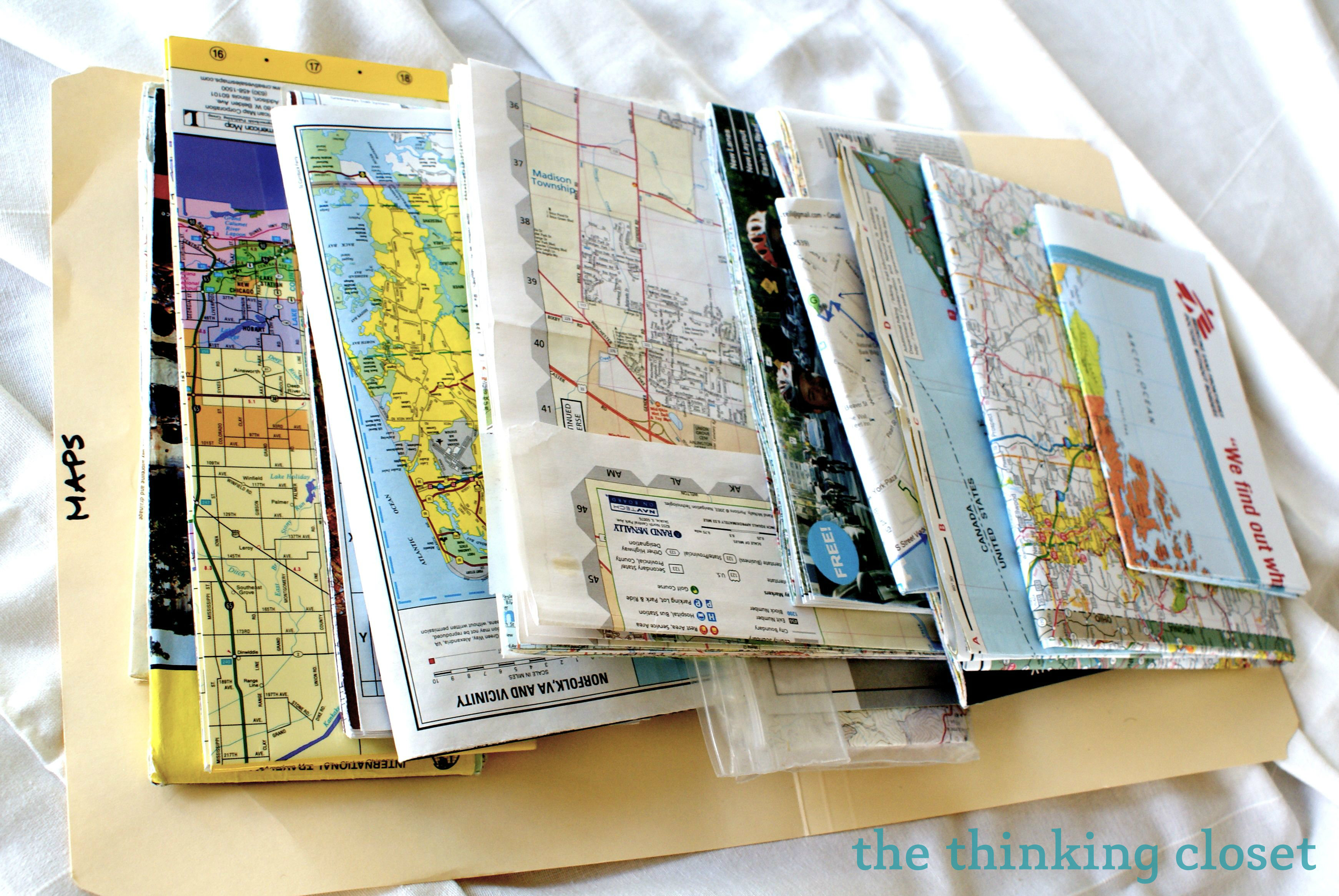
I’ve long been fond of everyday hard copy street maps. When the grid goes down you can’t google up any more maps. You can still often find street maps for free through the local Chamber of Commerce,
and at local city halls or libraries. Also, when traveling from one state to another, the rest area Welcoming building can be a wealth of road and bike trail maps.
St. Funogas, thanks I was looking for that FM. A comment for Always Forward. Any activity is a COVID friendly activity!
I have not done a formal study, but a causal one. One way to speed up the process is to study your county and state emergency management plans, aka Disaster Preparedness, or other such terminology. Download it all, as there copious amounts one might find useful later, such as privately owned and operated microhydro electric plants, bridges, water processing and storage facilities, emergency radio band plans etc. Having been a local helps, yet there is critical information that goes over looked.
This site will he useful for an area study. USGS mineral data maps that you can search by mine commodity or by mine type. This is useful for SHTF and day to day operations. For example I found an old uranium prospect in my retreat AO, plus some gold and silver that is outside the AO but in the same region
https://mrdata.usgs.gov/mrds/