
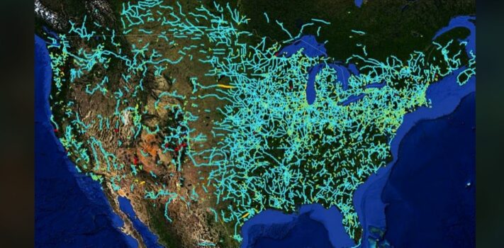


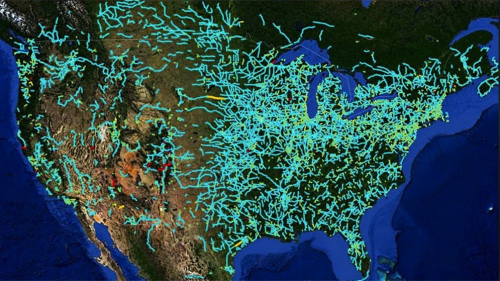
Today’s graphic is a map that shows America’s abandoned and out-of-service railroad lines. (Graphic courtesy of Reddit.) It was posted by “vladgrinch” with this note:
“The [American rail] system peaked in 1916 at 254,037 miles of track, at a moment when the railways carried virtually all interstate traffic in the United States, and roughly 138,477 miles remain in use today. Cars, lorries and aircraft pulled the traffic away over the decades that followed, and the branch lines serving small towns were lifted or simply left to the weeds.”
The thumbnail image below is click-expandable.
—
If any SurvivalBlog readers have personally taken or otherwise hold the copyright to a particularly nice landscape photo or other photo of particular interest to preppers that is in a wide horizontal format (to match our blog template) then please send it in as an e-mail attachment, and I will consider posting it as a Graphic of the Week, or as a Top Note photo. I can of course credit you by name — or pen name — if you’d like. Many Thanks! – JWR. (Either via e-mail or via our Contact form.) Any graphics that you send must either be your own creation, under your copyright or uncopyrighted in the public domain. Thanks! – JWR