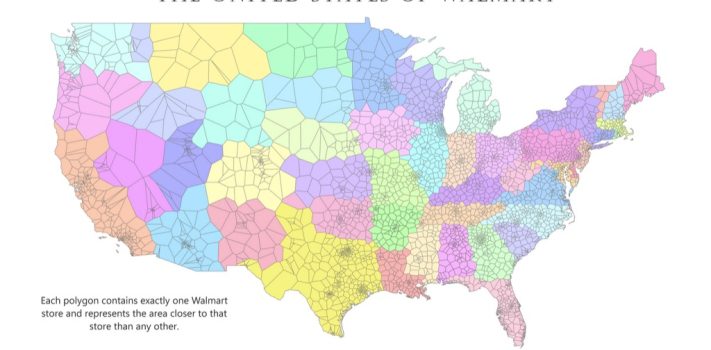


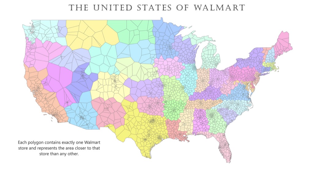
Today’s graphic: The United States of WalMart. In this map, each polygon contains exactly one Walmart store and represents the area closer to that store than any other. (Graphic courtesy of Reddit.)
JWR’s Comments: My family lives in the American Redoubt, where the population density is quite low, and the WalMart density is correspondingly low. Hence, the large polygons seen in the Intermountain West. It is a two-hour drive to the nearest WalMart from the Rawles Ranch.
The thumbnail below is click-expandable.
—
Please send your graphics or graphics links to JWR. (Either via e-mail or via our Contact form.) Any graphics that you send must either be your own creation or uncopyrighted.